
Leggi l’importanza di evitare lo stress da calore dei dipendenti su questa pagina e come lo stress da caldo può influire sulla salute della tua forza lavoro.
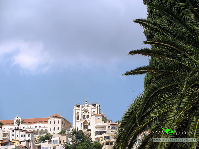
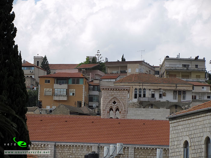
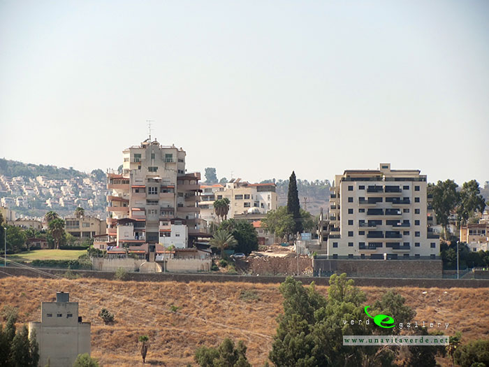
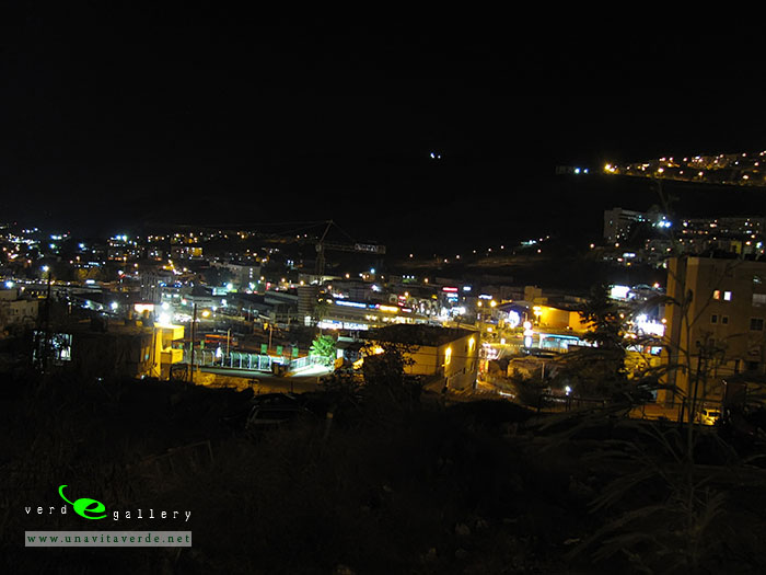
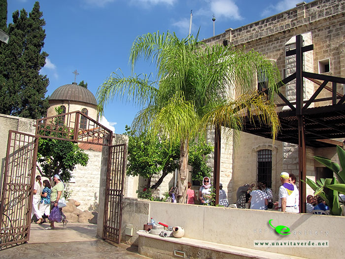
Haifa, on hebrew is as Hefa. Israel’s third largest city, Haifa is a major industrial center and has a population of almost 300,000. According to a popular Israeli saying, “Tel Aviv plays while Jerusalem prays. But Haifa works!”
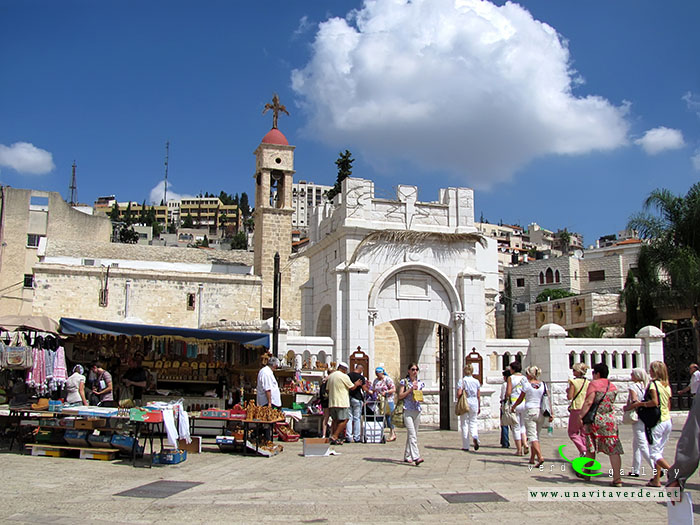
Built on the slopes of Mount Carmel, the history of settlement at the site spans more than 3,000 years. From 1948 the town remains under Israeli rule. Most of Haifa’s Arab inhabitants left after this, but the town still retains a cosmopolitan mixture of Muslim Arabs, Christian Arabs, and Baha’is. Haifa has several important religious sites and attracts many pilgrims and tourists alike each year.
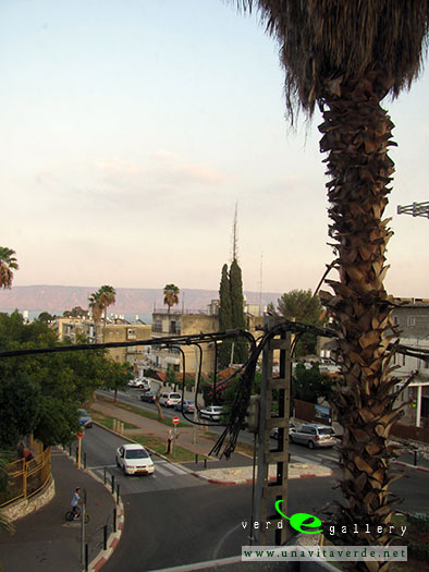
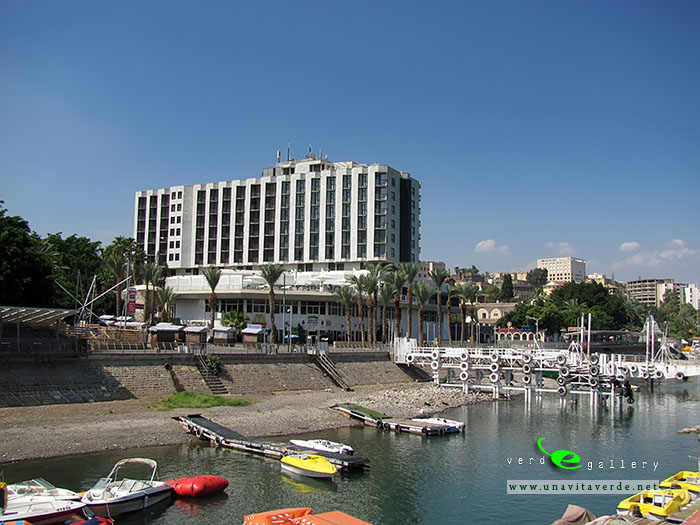
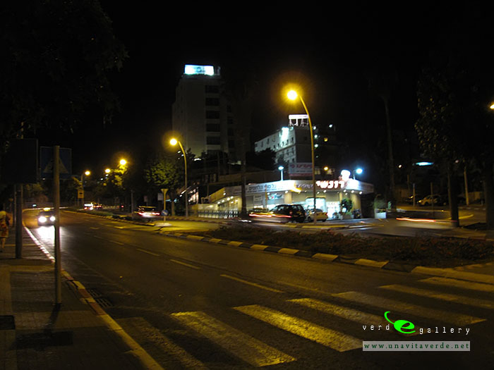
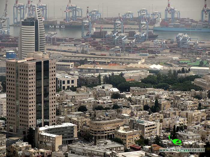
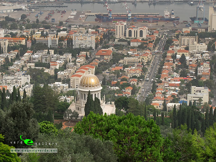
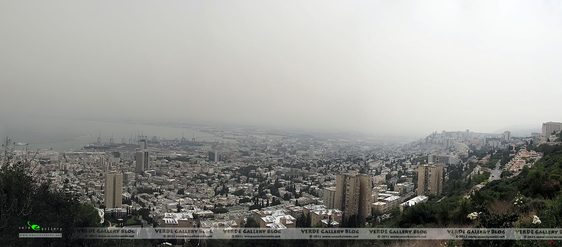
Today, the city is a major seaport located on Israel’s Mediterranean coastline in the Bay of Haifa. Apart from its busy port on the bay, Haifa is situated on the northern slopes of Mount Carmel, where there are quiet and attractive suburbs for the city’s wealthy. Residential and business districts are on the slopes, while the finest residences and resort hotels are on the mountaintop, commanding scenic views of the entire bay area. The lower and upper cities are linked by a cable car. Haifa also has the only subway in Israel, the Carmelit, dating from 1959. Just to the south of Haifa are magnificent beaches that locals flock to, but few tourists know about.
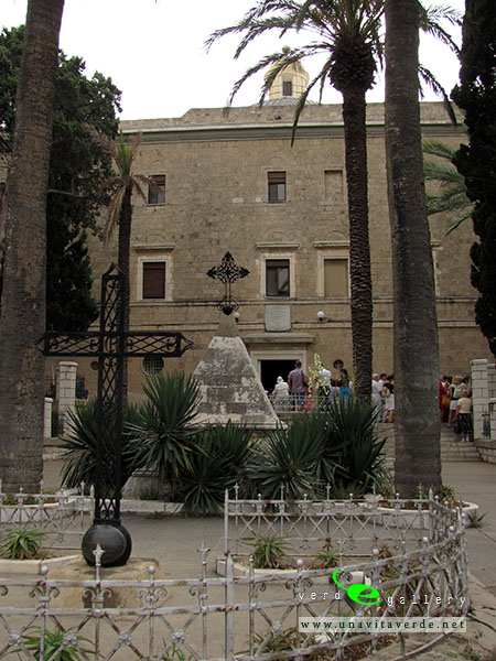
Stella Maris Carmelite Monastery
The Carmelite order of Catholic monks, now spread throughout the world, was founded here in the 12th century during the Crusades. The present monastery dates from the 19th century and is made of fine marble.
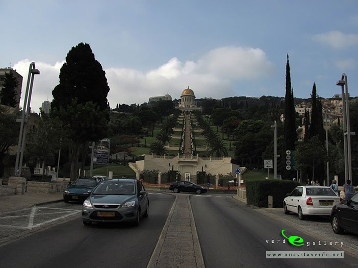
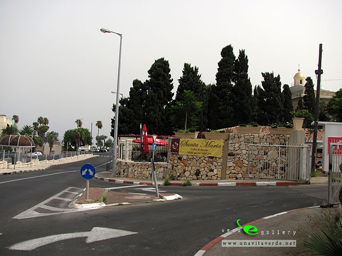
Baha’i Shrine and Gardens
This important holy site of the Baha’i Faith is home to the Shrine of the Bab, administrative buildings and famous terraced gardens. Pilgrims come to the shrine from all parts of the world to pay homage to the first leaders of their faith.
The German Colony
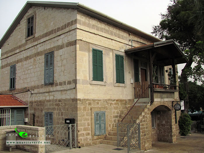
If you are really into architecture and stuff, you’ll definitely like the German Colony. It’s located right at the base of the Baha’i Gardens. This neighborhood (viral today) was founded in 1868 by german templars. The cool thing is – most of the original buildings still stand to this day (germans know how to build, we’ll give ‘em that). Today, this picturesque location is filled with restaurants, cafes, and art galleries – coveted by many hipsters banished from Tel Aviv for numerous reasons.
Museums you shouldn’t miss
If you only have time to see one museum in the city, it should definitely be the Madatech Science & Technology Museum. This is the kind of museum that invites you to touch, interact, and experience to enjoy. The exhibitions are fascinating, and almost every corner of the museum is translated, so you won’t have to walk around like idiots looking at shiny moving parts. If you care for less techy and more alive (a great segue, we know), go to the educational zoo. It’s right on top of the Carmel mountain and has over 100 different species of wildlife. There’s also the Haifa Art Museum and the Tikotin Museum of Japanese Art if you have the time.
Leggi l’importanza di evitare lo stress da calore dei dipendenti su questa pagina e come lo stress da caldo può influire sulla salute della tua forza lavoro.
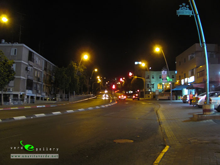
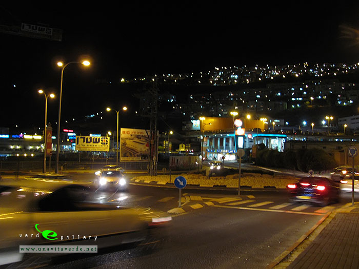
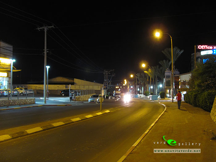
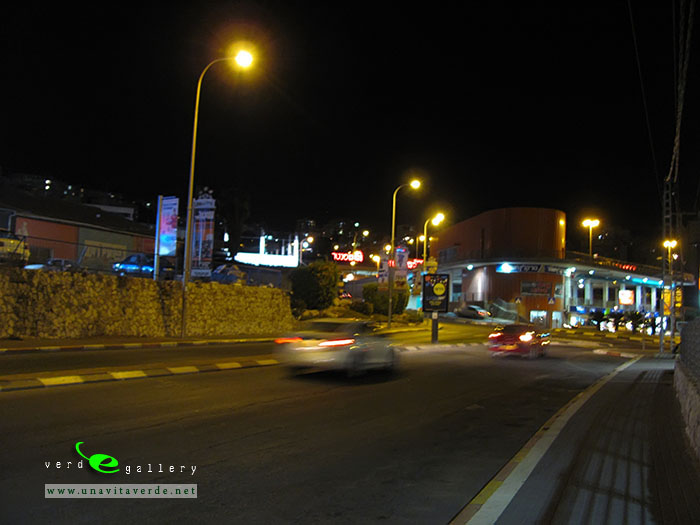
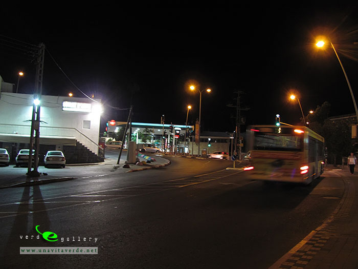
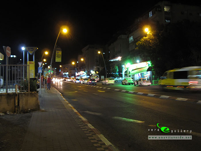
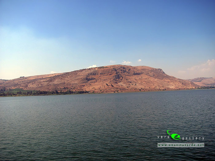
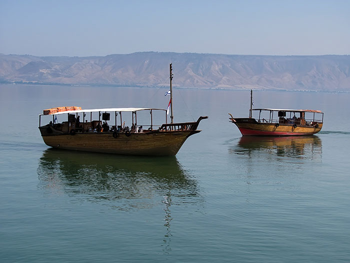
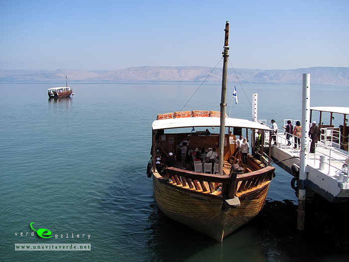
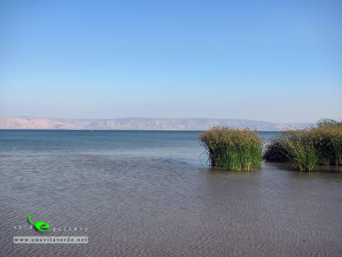
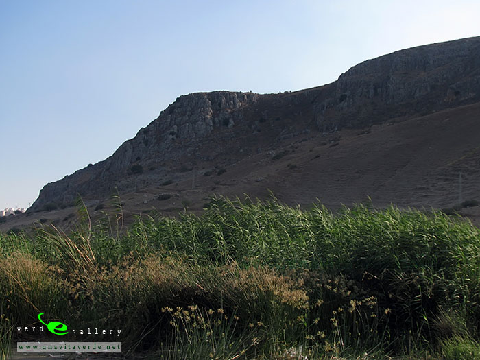
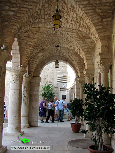
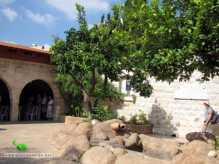
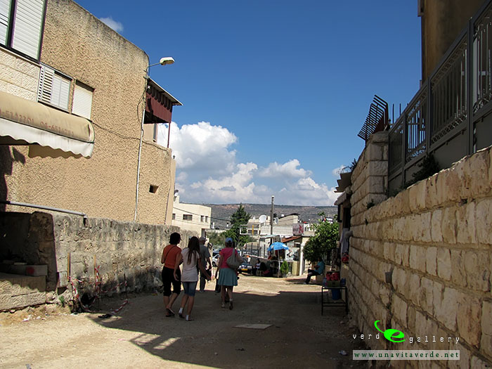
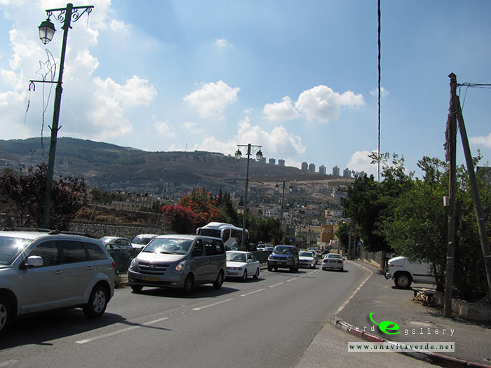
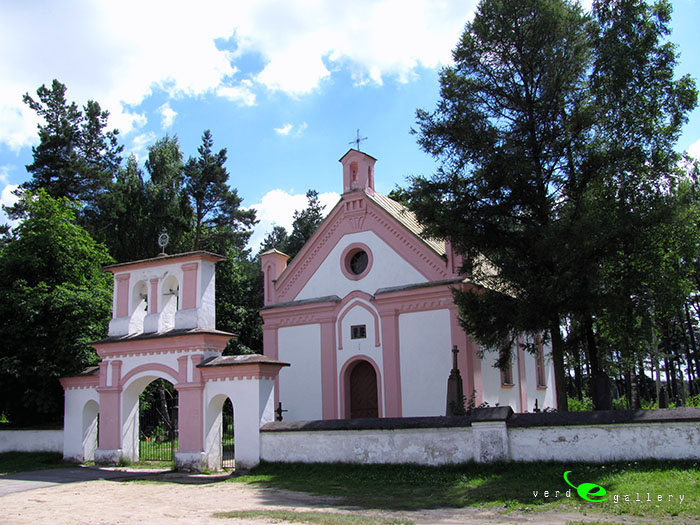
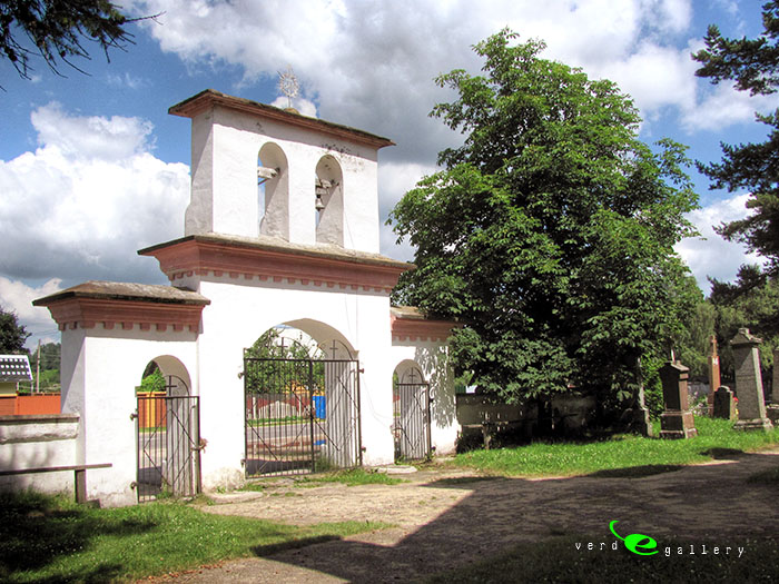
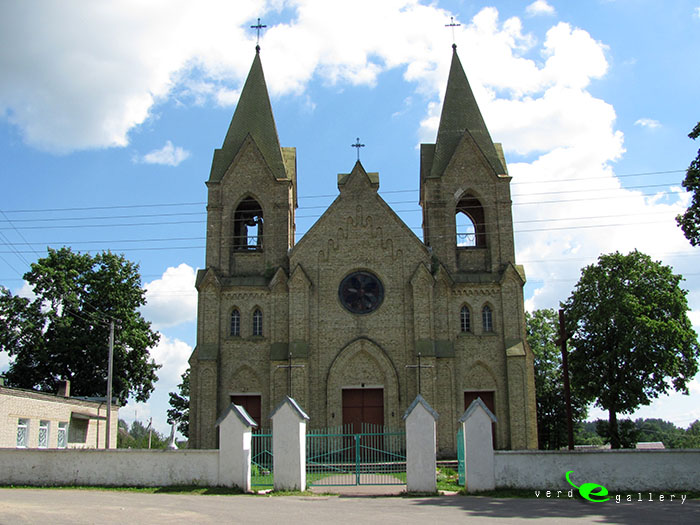
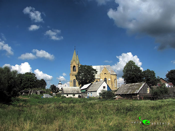
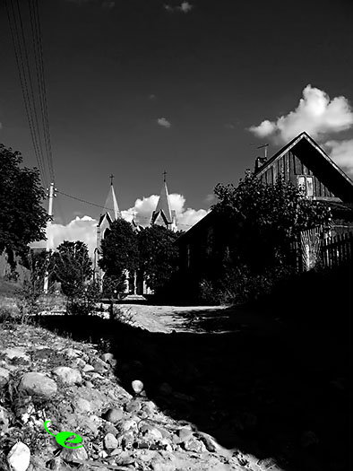
Pictures of Haifa photo gallery added 28 of September, 2011.