It’s just a hornbeam wood perhaps, but if you know what you are looking at then it is a unique stretch of the primeval forest that once covered most of Europe. There are massive oak trees, pines and hornbeams far higher and thicker-trunked than those you will see in the elsewhere. Lots of dead wood that attacts many fungi and invertebrates.
There are bison and… wolves in here too – but you’ll be very very lucky to see them. Red Squirrels, Red Deer and Roe Deer are quite common though.
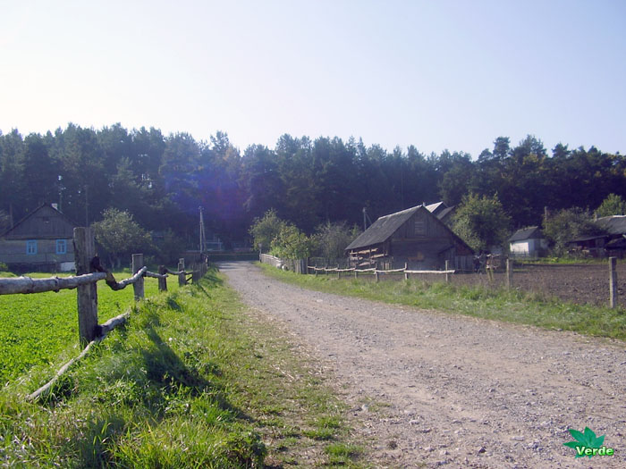
It is truly surprising to see so many old big trees and just lying around a dead trees. Amazing hornbeam forest. Nature at its finest. Definitely one of nature wonders. The primeval forest is the last stand of original forest in Europe, this is the Bialowieza Primaeval Forest in Belarus and Poland, national parks of these countries.
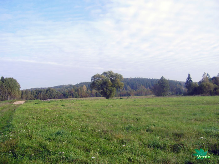
The hornbeam trees
It can be hornbeam trees with a height of 7-15 m, and often the trees can reach a height of 30 m. The hornbeam forest is like a natural refrigerator because almost no sunlight penetrates through the dense crowns of trees. Hornbeam forest are at their most beautiful in the rain, there is something mystical in this ghostly light.


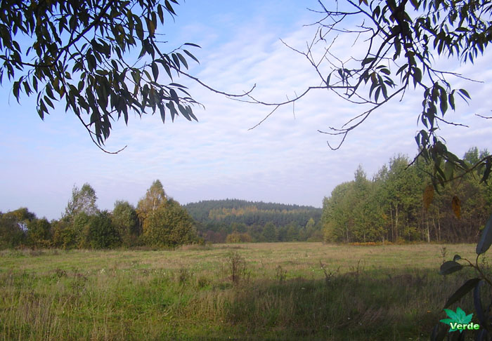
The hornbeam forests
Hornbeams are native to the northern hemisphere, a most species in Asia, especially China. There are only two types in Europe. The hornbeam grows slowly, prefers sufficiently moist calcareous, loose and rich soils. Some species tolerate dry calcareous soils but do not tolerate waterlogged and acidic soils.
Additional Aspects
Threats and Conservation: Hornbeam forests face several threats, including:
- Deforestation: For agriculture, construction, and other needs.
- Invasive Species: That can outcompete native plants and animals.
- Climate Change: Which may impact the ecosystem and biodiversity.
Conservation efforts for hornbeam forests include restoration activities, the establishment of reserves and national parks, and raising public awareness about the importance of these ecosystems.
Economic Significance: Hornbeam forests can be a source of timber used in construction, furniture making, and other industries. They may also attract tourists, contributing to the development of ecotourism.
Cultural Significance: Hornbeam forests hold cultural importance for many communities, often associated with local traditions, myths, and folklore. They serve as places for recreation and inspiration.
What are the types of forests?
There are evergreen forests: moist tropical, coniferous, hardwood forests. The deciduous forests: temperate deciduous forests, monsoon, dry tropical deciduous forests. As well as semi-deciduous and mixed forests.