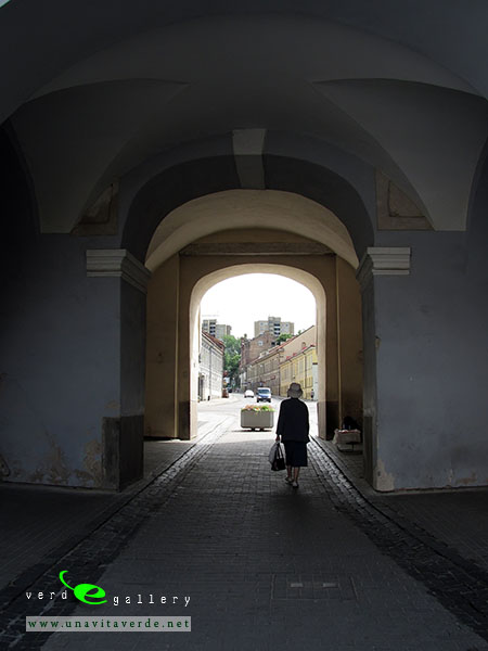
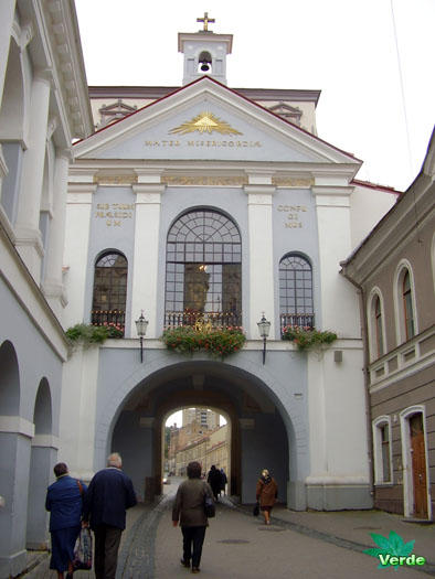
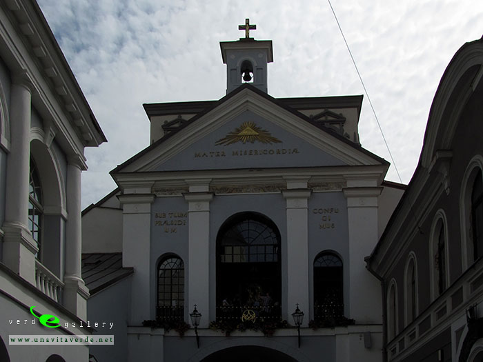
- Ostra Brama (PL) - Gate of Dawn (EN). Behind my back the road to the Lida Castle. Dukes Road of Grand Duchy of Lithuania to fort.")


Here is Rasos Cemetery gallery – tap or click here…
- A little word about Vilnius
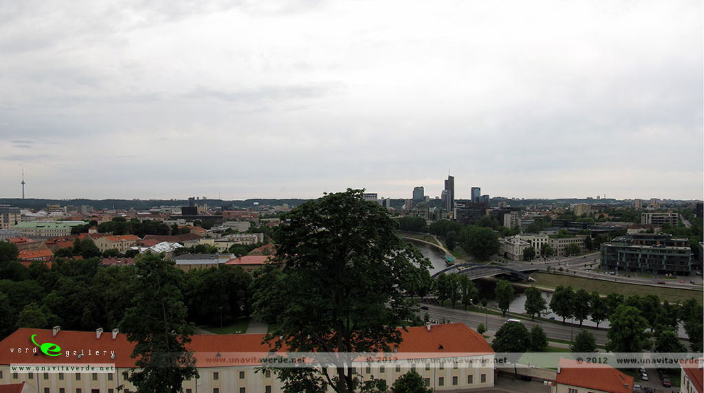
Vilnius has been rapidly transformed, and the town has emerged as a modern European city. Many of its older buildings have been renovated, and a business and commercial area is being developed into the New City Centre, expected to become the city’s main administrative and business district on the north side of the Neris river. This area includes modern residential and retail space, with the municipality building and the 129-metre (423′) Europa Tower as its most prominent buildings. Vilnius was selected as a 2009 European Capital of Culture, along with Linz, the capital of Upper Austria. Its 2009 New Year’s Eve celebration, marking the event, featured a light show said to be “visible from outer space”. In preparation, the historical centre of the city was restored, and its main monuments were renewed. Besides the many official programs for the Cultural Capital year, there have been efforts to promote subcultural venues, such as the Kultflux and Vilnus Triennale program, showing young arts from all over Lithuania and Europe to a general public, both in public spaces, such as on the river shore of Neris river, and in several vacant buildings within the city centre.
- Užupis
Užupis means “the other side of the river” in the Lithuanian language (Belarusian: Зарэчча, Polish: Zarzecze). The district has been popular with artists for some time, and has been compared to Montmartre in Paris and to Freetown Christiania in Copenhagen, due to its bohemic and laissez-faire atmosphere. On April 1, 1997, the district declared itself an independent republic (The Republic of Užupis). Since the first of November 2014 Jaap van Ark is president of republic Užupis.
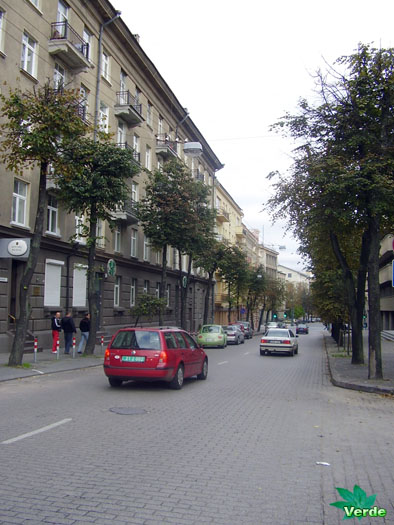
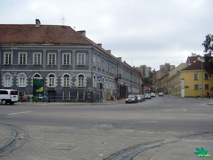
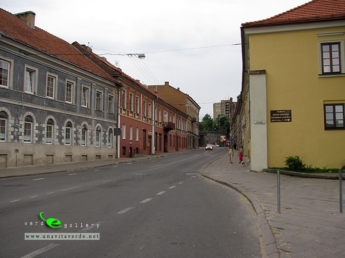
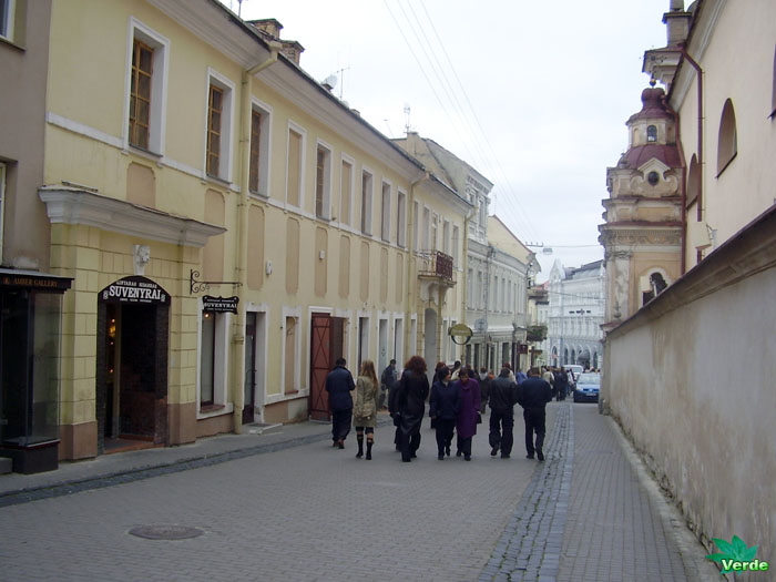
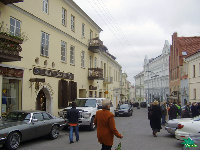
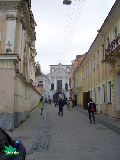
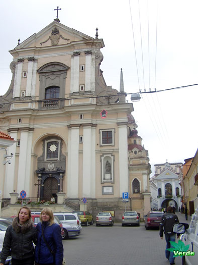
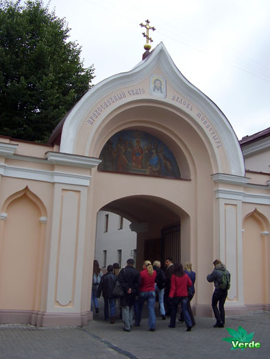
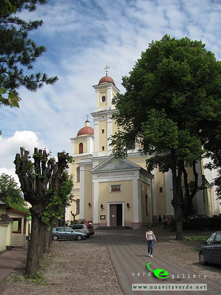
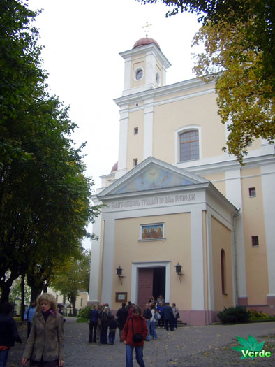
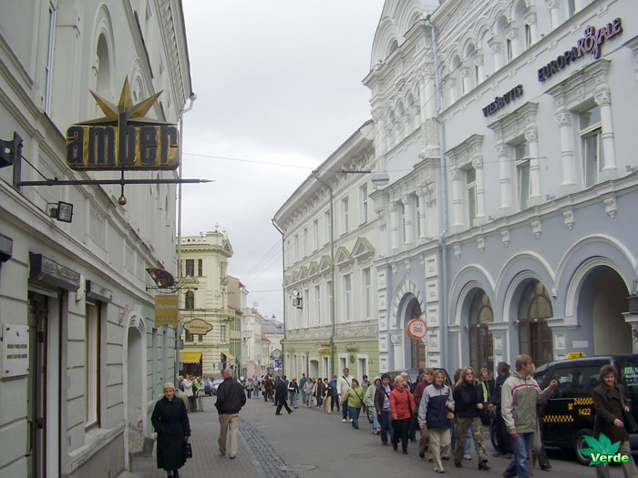
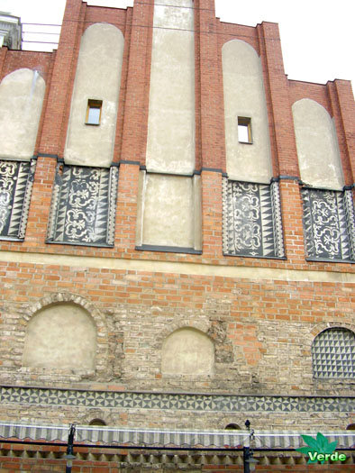
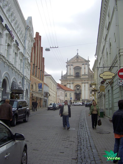
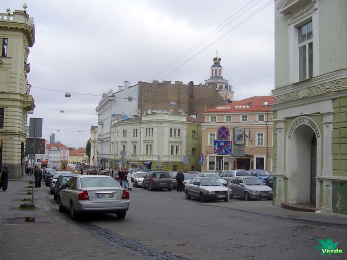
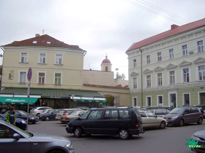
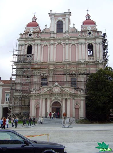
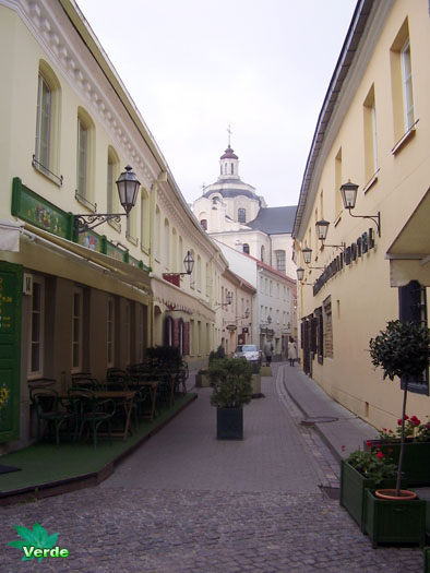
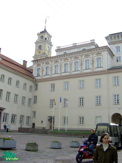
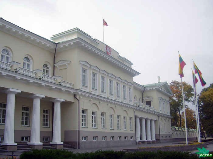
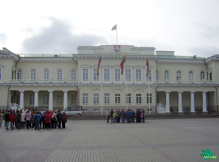
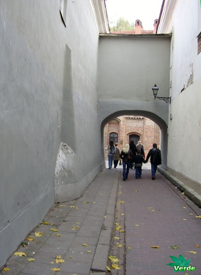
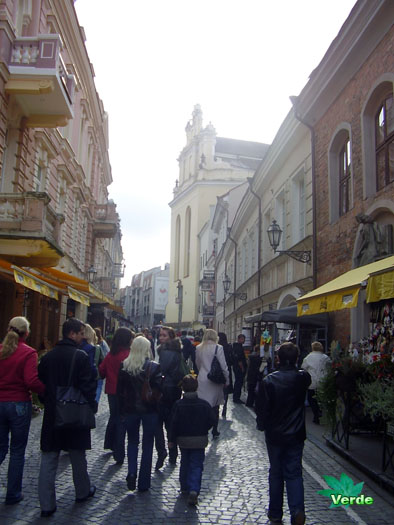
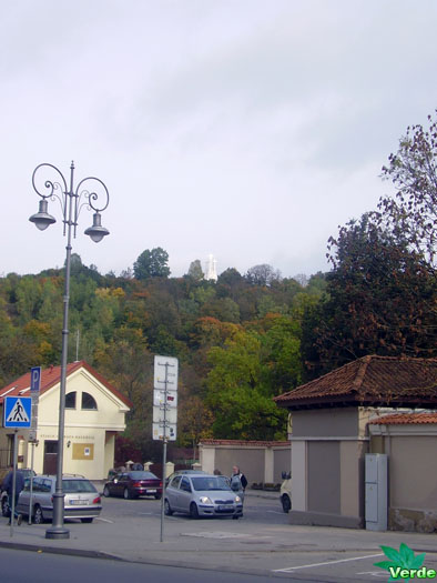
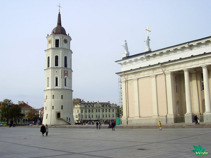
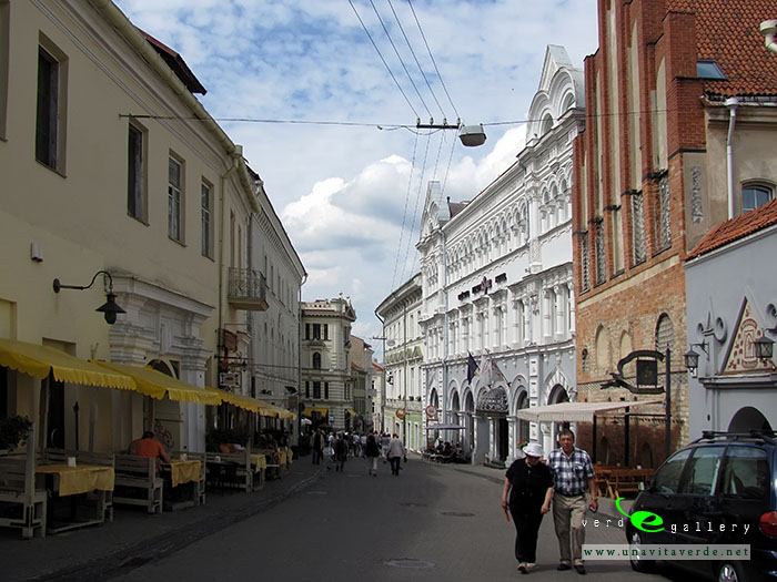
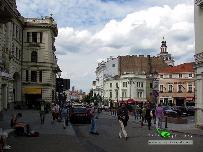
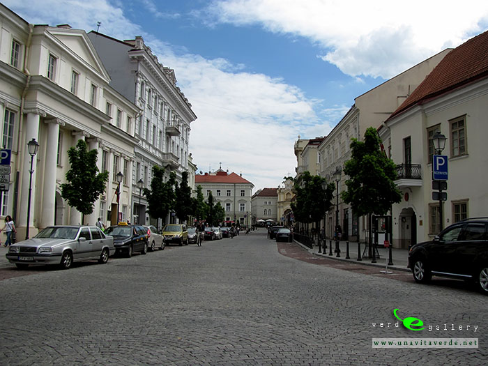
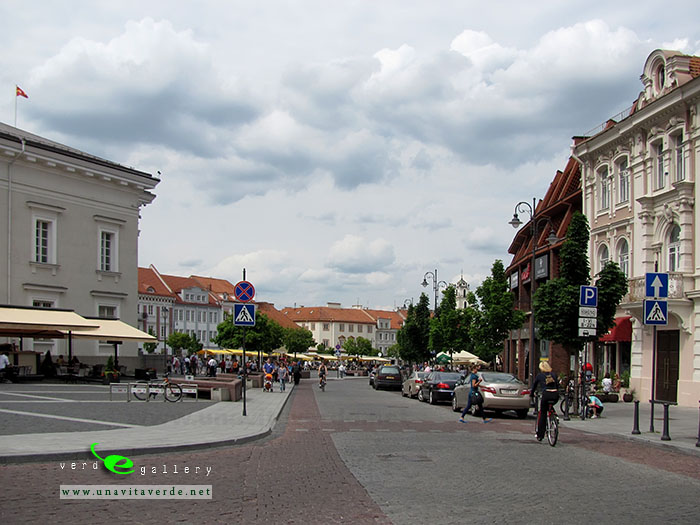
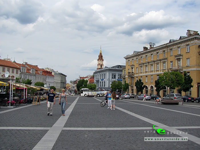
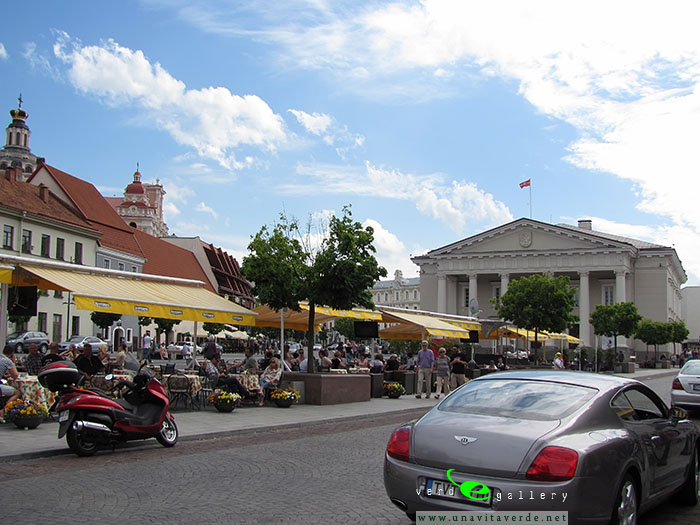
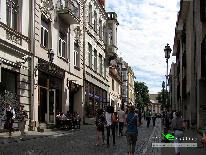
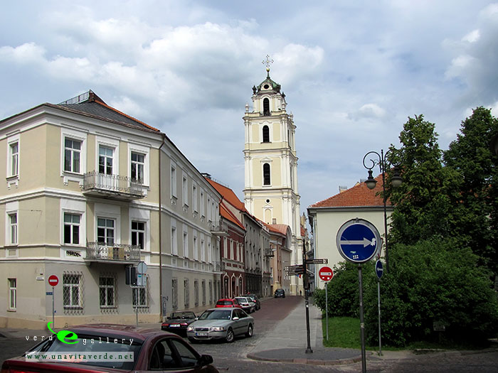
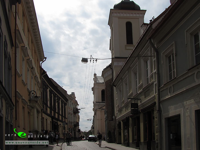
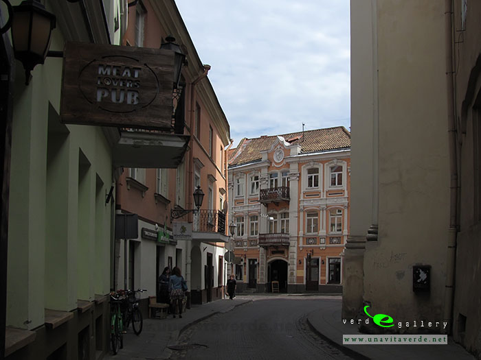
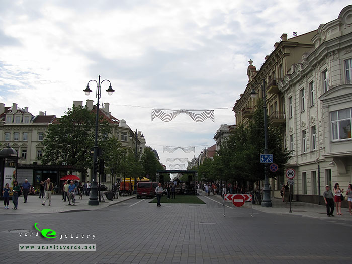
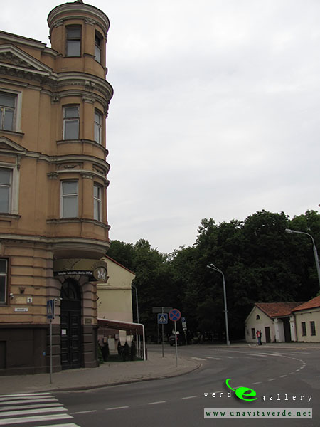
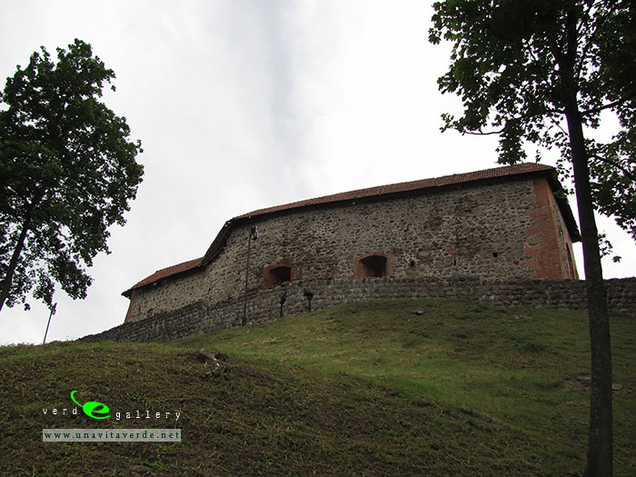
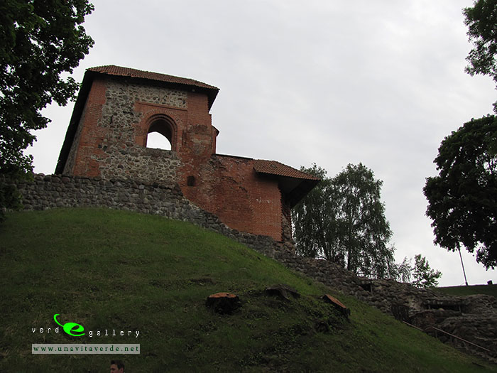
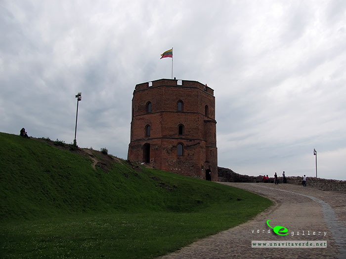
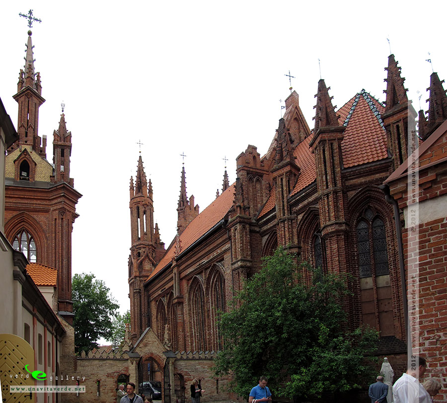
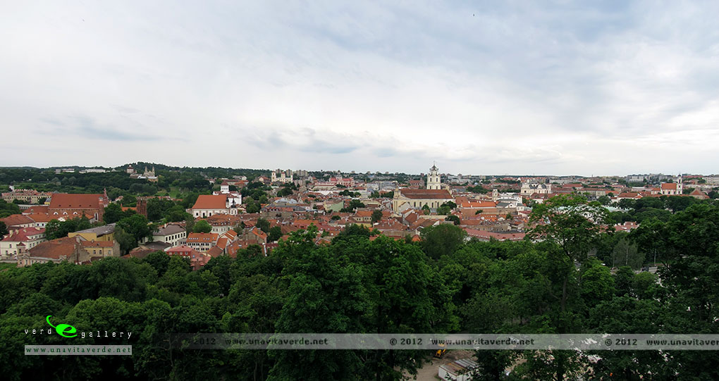
Here’s other pictures of Vilnius:


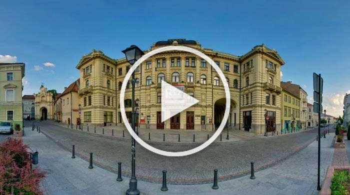
Vilnius – Aušros vartai 360 Panorama
Vilnius live street camera
Lithuanian National Philharmonic Society.
Where to eat cheaply in Vilnius? Recommended ‘budget’ place in center of city for lunch, save money on food.
I recommend these addresses of this restaurant, take a look map. Relatively nice places for lunch, there you can eat dense for 7-10 Euro.
zooming
Of course, I want recommend the Gusto Blynine. Relatively nice places for lunch, there you can eat dense about 6-10 Euro.
Visit place to stay in Vilnius for more information.
A pictures and panoramas of Vilnius photo gallery taken:
14 of October, 2006.
09 of June, 2012.
7-8 of May, 2016.