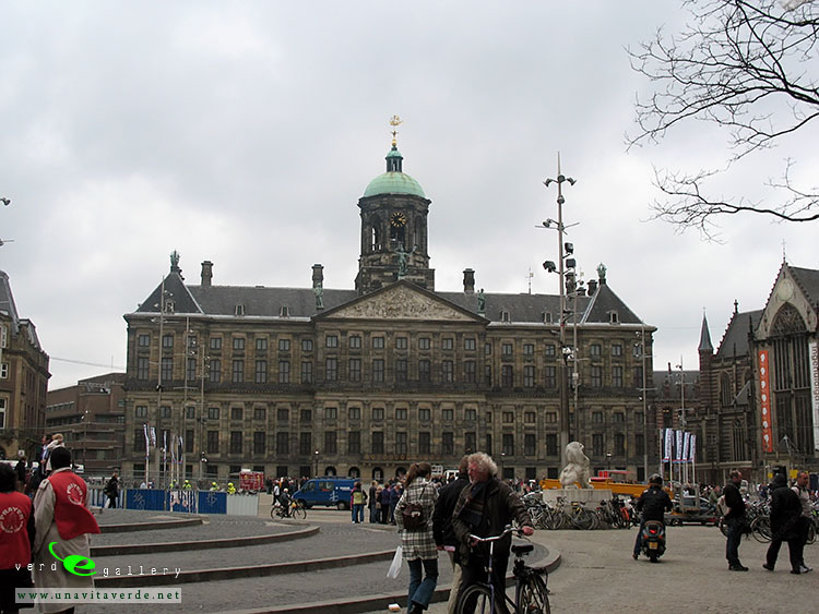
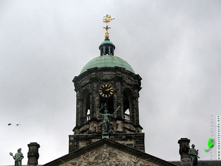
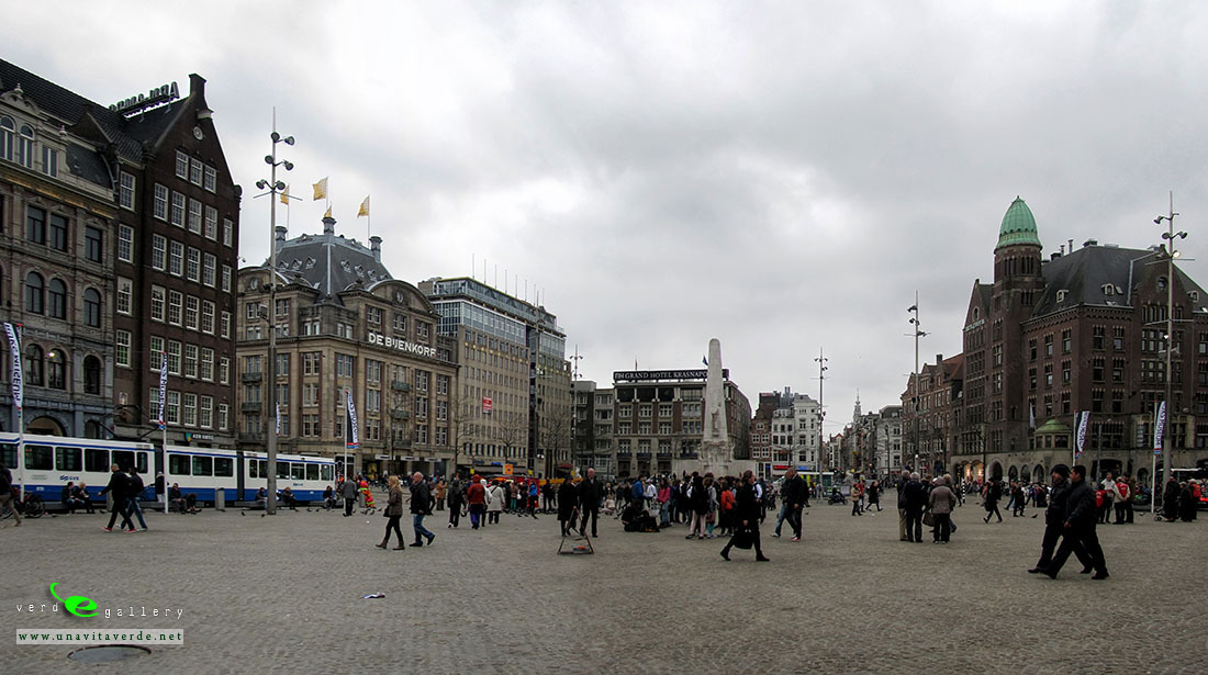
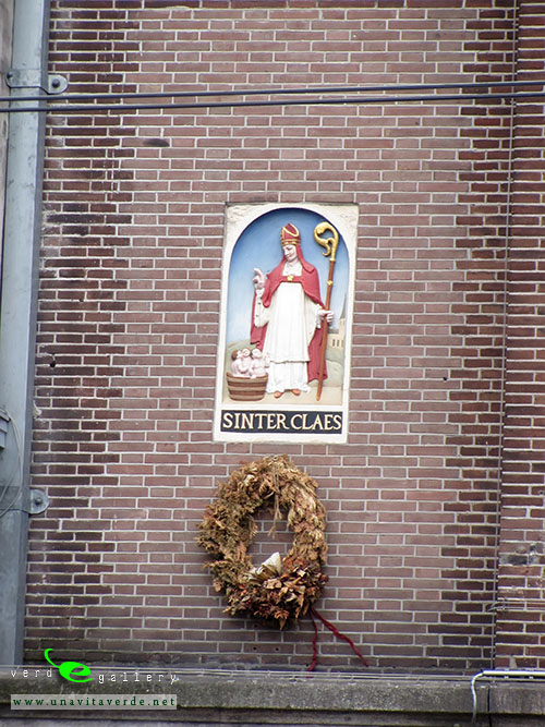
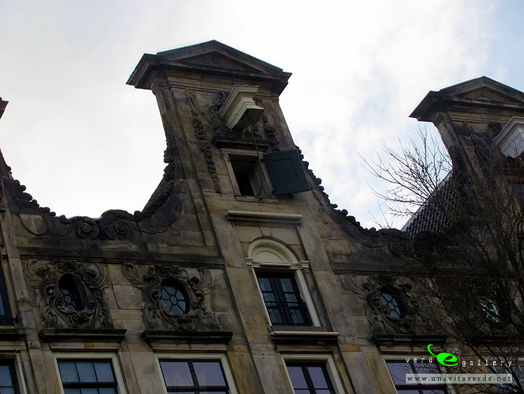
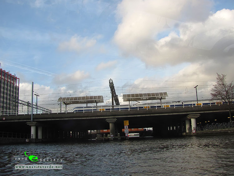
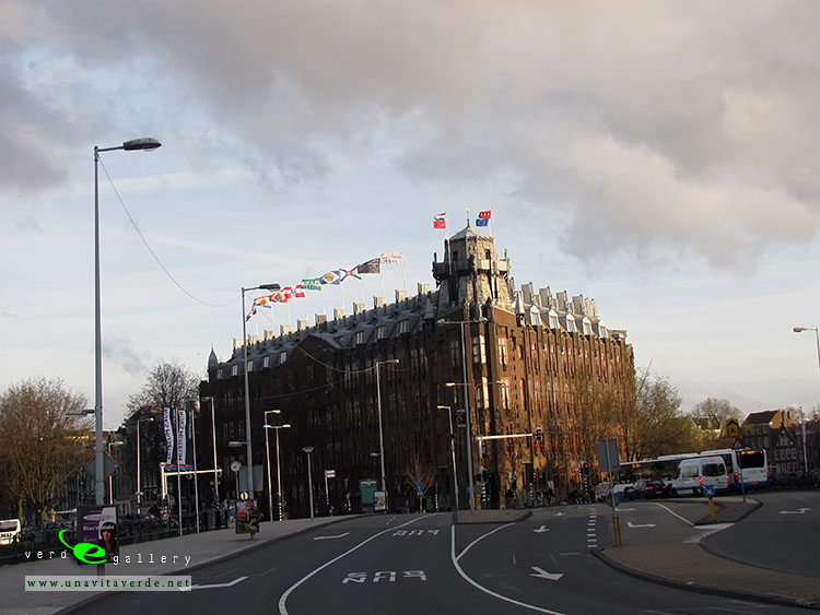
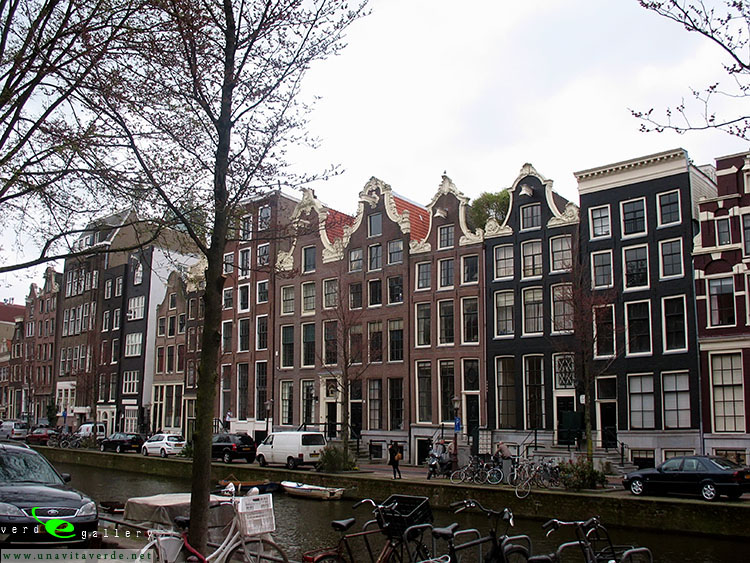
Papal Palace, Episcopal Ensemble and Avignon Bridge


Avignon and its popes
In 1309 the city, still part of the Kingdom of Arles, was chosen by Pope Clement V as his residence, and from 9 March 1309 until 13 January 1377 was the seat of the Papacy instead of Rome. This caused a schism in the Catholic Church. At the time, the city and the surrounding Comtat Venaissin were ruled by the kings of Sicily from the house of Anjou. French King Philip the Fair, who had inherited from his father all the rights of Alphonse de Poitiers (the last Count of Toulouse), made them over to Charles II, King of Naples and Count of Provence (1290). Nonetheless, Phillip was a shrewd ruler. Inasmuch as the eastern banks of the Rhone marked the edge of his kingdom, when the river flooded up into the city of Avignon, Phillip taxed the city since during periods of flood, the city technically lay within his domain.
Papal Avignon
Regardless, on the strength of the donation of Avignon, Queen Joanna I of Sicily, as countess of Provence, sold the city to Clement VI for 80,000 florins on 9 June 1348 and, though it was later the seat of more than one antipope, Avignon belonged to the Papacy until 1791, when, during the disorder of the French Revolution, it was reincorporated with France.
Seven popes resided there:
- Pope Clement V: 1305–1314
- Pope John XXII: 1316–1334
- Pope Benedict XII: 1334–1342
- Pope Clement VI: 1342–1352
- Pope Innocent VI: 1352–1362
- Pope Urban V: 1362–1370
- Pope Gregory XI: 1370–1378
This period from 1309–1377 – the Avignon Papacy – was also called the Babylonian Captivity of exile, in reference to the Israelites’ enslavement in biblical times.
The walls that were built by the popes in the years immediately after the acquisition of Avignon as papal territory are well preserved. As they were not particularly strong fortifications, the Popes relied instead on the immensely strong fortifications of their palace, the “Palais des Papes”. This immense Gothic building, with walls 17–18 feet thick, was built 1335–1364 on a natural spur of rock, rendering it all but impregnable to attack. After being taken following the French Revolution, it was used as a barracks and prison for many years but it is now a museum.
Avignon, which at the beginning of the 14th century was a town of no great importance, underwent extensive development during the time the seven Avignon popes and two anti-popes, Clement V to Benedict XIII made their residences there. To the north and south of the rock of the Doms, partly on the site of the Bishop’s Palace, which had been enlarged by John XXII, was built the Palace of the Popes, in the form of an imposing fortress made up of towers, linking one to another, and named as follows: De la Campane, de Trouillas, de la Glacière, de Saint-Jean, des Saints-Anges (Benedict XII), de la Gâche, de la Garde-Robe (Clement VI), de Saint-Laurent (Innocent VI). The Palace of the Popes belongs, by its severe architecture, to the Gothic art of the South of France. Other noble examples can be seen in the churches of St. Didier, St. Peter and St. Agricola, as well as the Clock Tower, and in the fortifications built between 1349 and 1368 for a distance of some three miles (5 km), flanked by thirty-nine towers, all of which were erected or restored by the Roman Catholic Church. The frescoes that are on the interiors of the Palace of the Popes and the churches of Avignon were created primarily by artists from Siena.
The popes were followed to Avignon by agents (factores) of the great Italian banking-houses, who settled in the city as money-changers, as intermediaries between the Apostolic Chamber and its debtors, living in the most prosperous quarters of the city, which was known as the Exchange. A crowd of traders of all kinds brought to market the products necessary to maintain the numerous court and of the visitors who flocked to it; grain and wine from Provence, from the south of France, the Roussillon and the country around Lyon. Fish was brought from places as distant as Brittany; cloths, rich stuffs and tapestries came from Bruges and Tournai. We need only glance at the account-books of the Apostolic Chamber, still kept in the Vatican archives, in order to judge of the trade of which Avignon became the center. The university founded by Boniface VIII in 1303, had a good many students under the French popes, drawn thither by the generosity of the sovereign pontiffs, who rewarded them with books or benefices.
During the Great Schism (1378–1415) the antipopes Clement VII and Benedict XIII returned to reside at Avignon. Clement VII lived in Avignon during his entire anti-pontificate, while Benedict XIII only lived there until 1403 when he was forced to flee to Aragon.
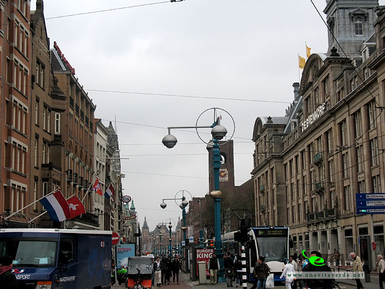
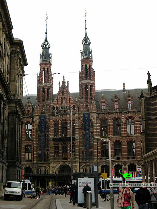
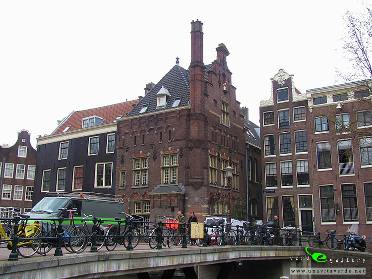
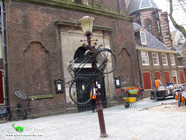
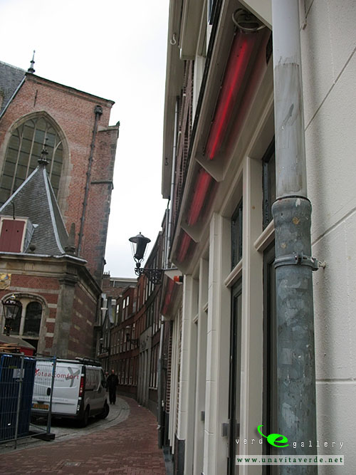
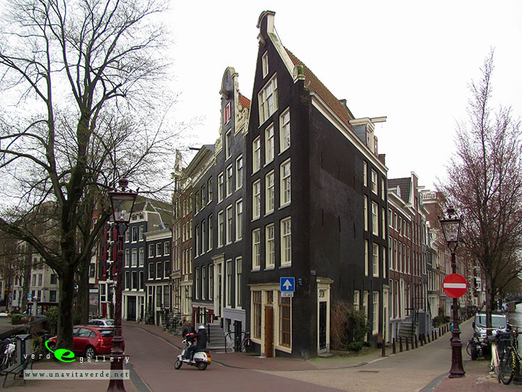
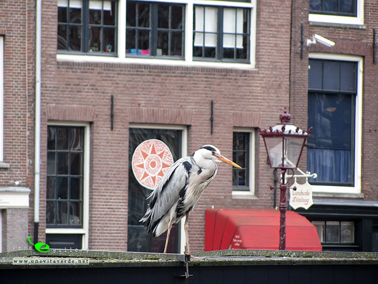
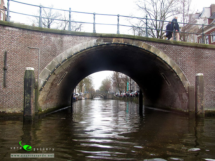
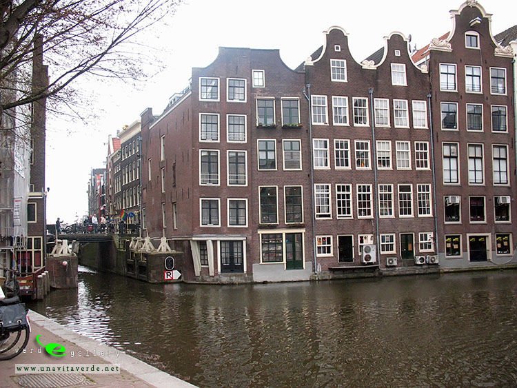
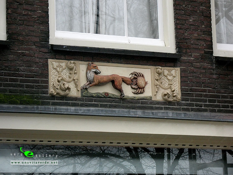
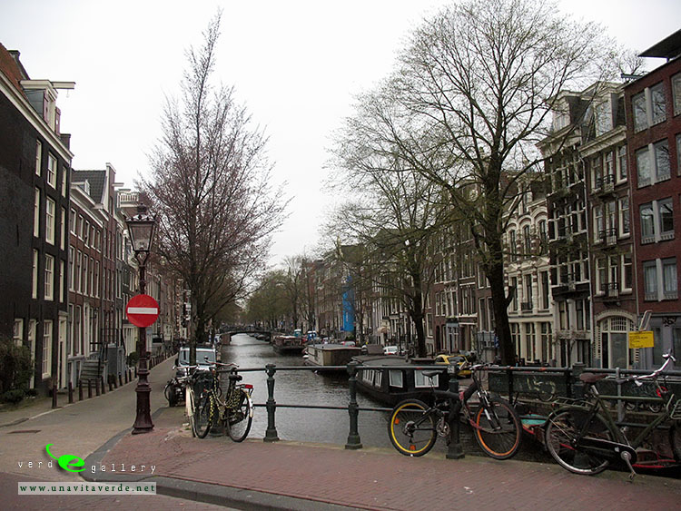
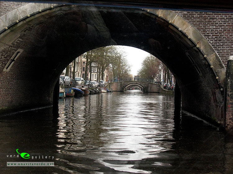
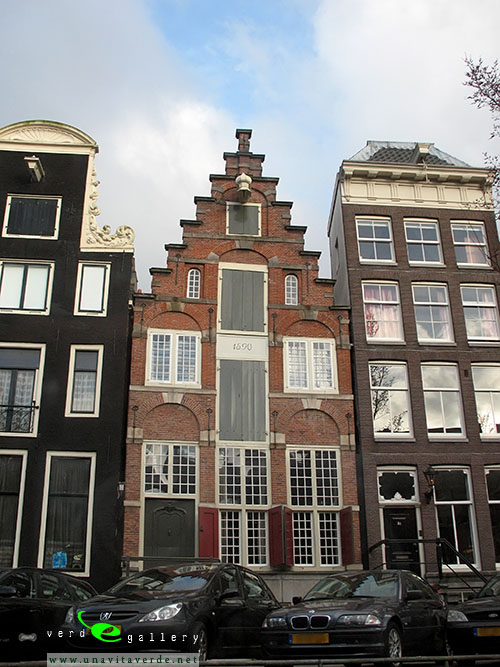
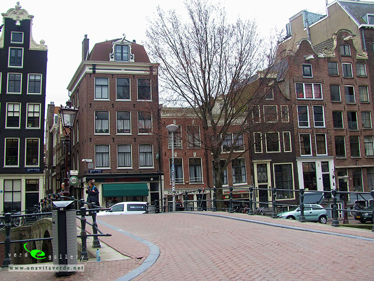
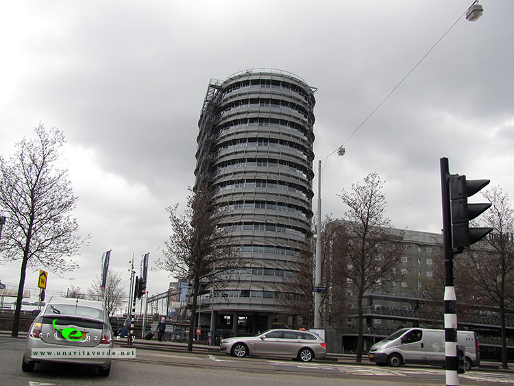
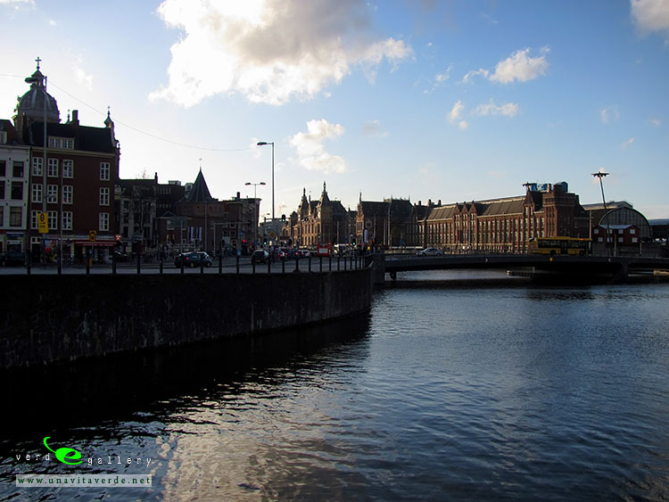
See photos of Episcopal Ensemble, it’s Avignon photos in this travel photo gallery from Verde Wanderer. Pictures taken at 10 of October, 2010.