All the way to the distant skyline. Sightseeings, greenways in European, Israeli nature, towns, pictures, photo extreme tours from usual life. Black and white photo


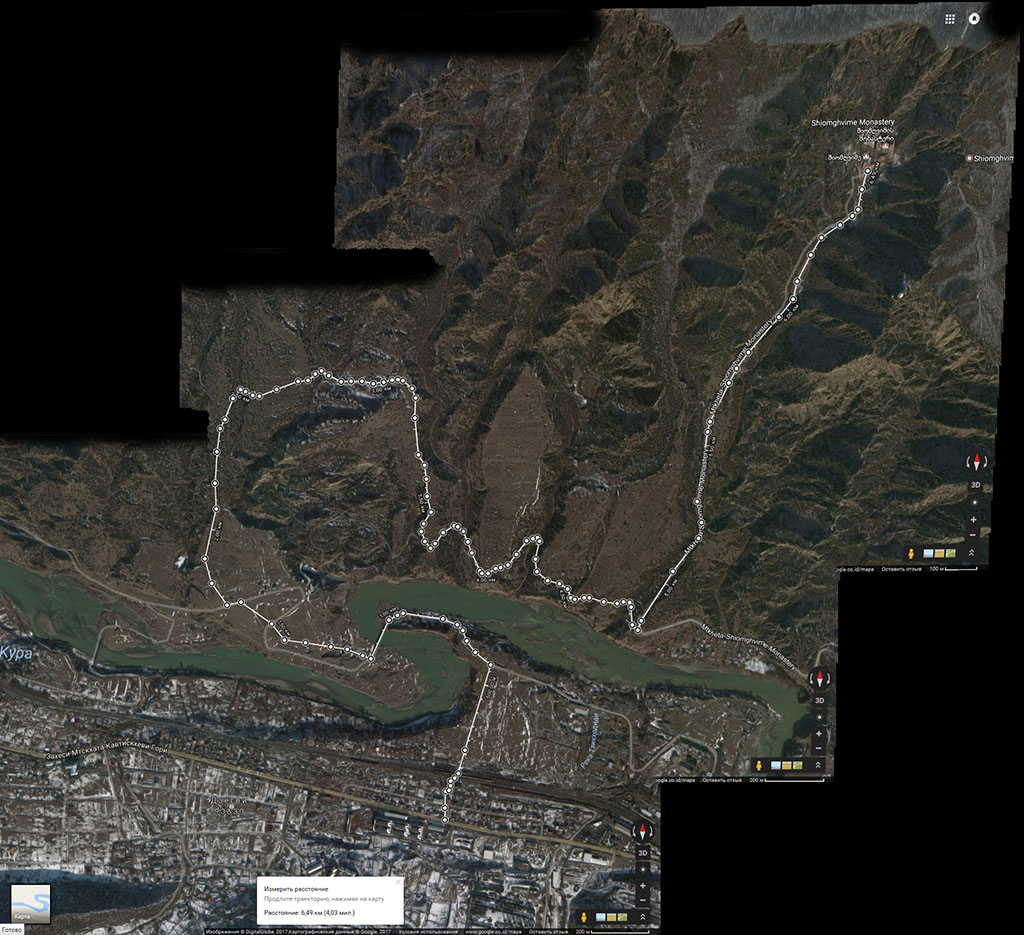
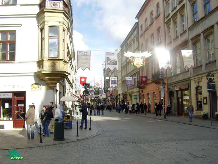
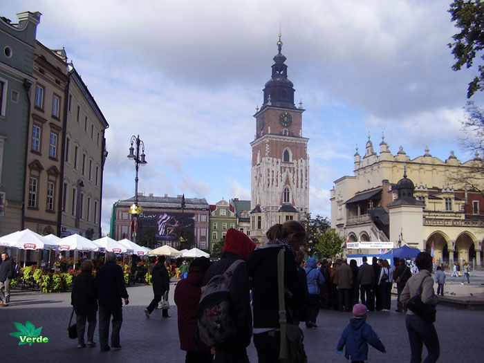
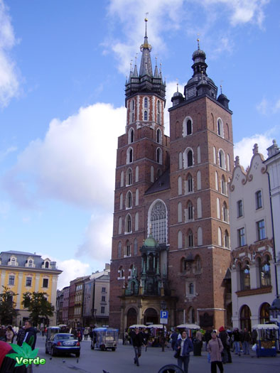
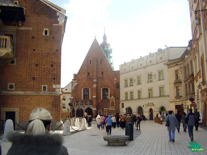
Mtskheta (Georgian: მცხეთა [mtsʰxɛtʰɑ]) is a city in Mtskheta-Mtianeti province of Georgia. One of the oldest cities of Georgia, it is located approximately 20 kilometres (12 miles) north of Tbilisi at the confluence of the Aragvi river.

Photos taken on April, 17, 2017.

 
Due to its historical significance and several cultural monuments, the “Historical Monuments of Mtskheta” became a UNESCO World Heritage Site in 1994. As the birthplace and one of the most vibrant centers of Christianity in Georgia, Mtskheta was declared as the “Holy City” by the Georgian Orthodox Church in 2014.

History

Mtskheta was founded in the 5th century BC. It was capital of the early Georgian Kingdom of Iberia (Kartli) from the 3rd century BC to the 5th century AD. It was a site of early Christian activity, and the location where Christianity was proclaimed the state religion of Kartli in 337. It remains the headquarters of the Georgian Orthodox Church.

King Dachi I Ujarmeli (early 6th century AD), who was the successor of Vakhtang I Gorgasali, moved the capital from Mtskheta to the more easily defensible Tbilisi according to the will left by his father. However, Mtskheta continued to serve as the coronation and burial place for most kings of Georgia until the end of the kingdom in the 19th century.

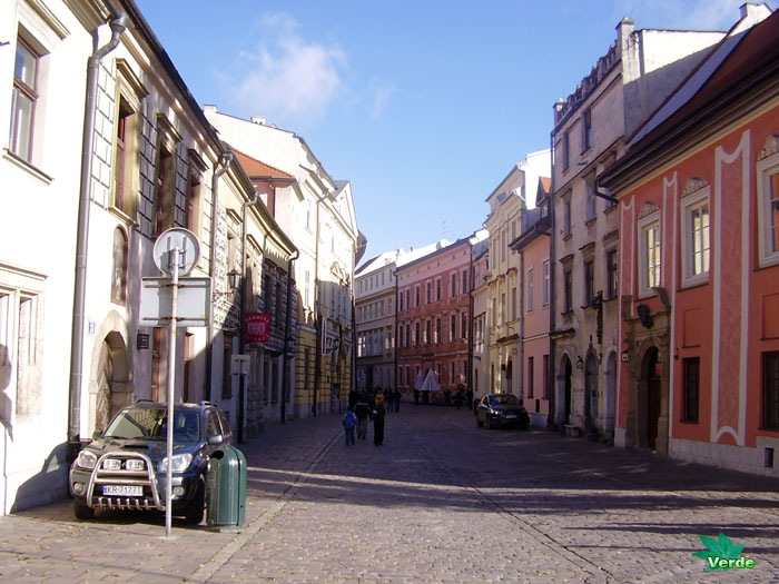
The old city lies at the confluence of the rivers Mtkvari and Aragvi. The rare blend of cultural values had ruled in this part of the world since the Bronze Age until prosperous Christian era over the unique eclectic lifestyle creating the mood of the town which is as old as the history of Georgia. Mtskheta is the most religious city of Georgia as it has been the shrine of pagan idols since times immemorial and it is where Christianity in Georgia takes its origin.

In recognition of its role in the Georgian Christian history, Mtskheta was granted the status of a “Holy City” by Catholicos-Patriarch Ilia II of Georgia in accordance of the written testament of his 11th-century predecessor Melchizedek I of Georgia.

Monuments

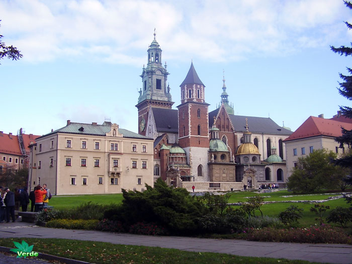
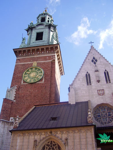
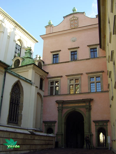
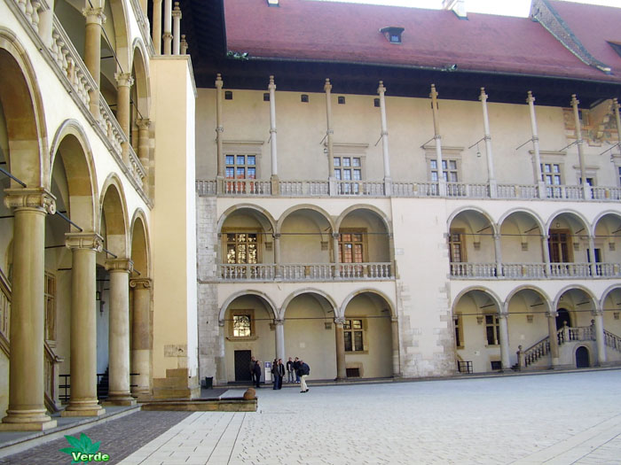
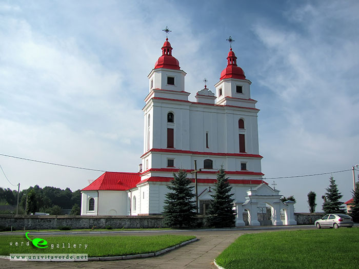
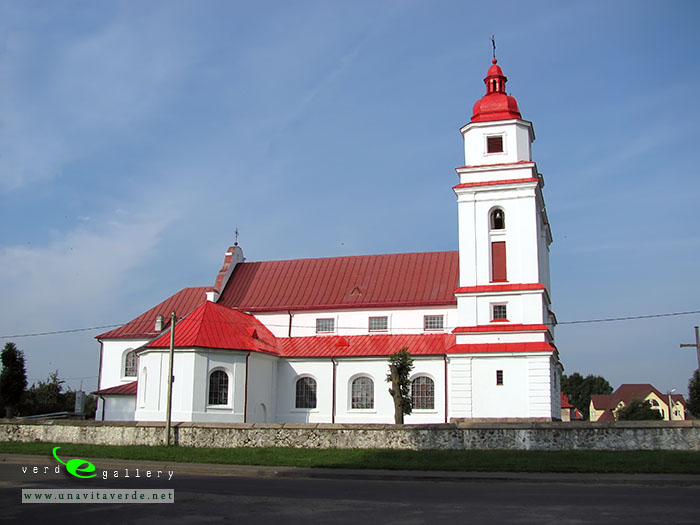
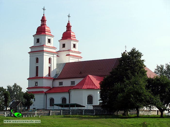
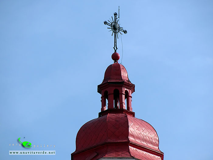
Svetitskhoveli Cathedral (11th century) and Jvari Monastery (6th century) in Mtskheta are amongst the most significant monuments of Georgian Christian architecture, and are historically significant in the development of medieval architecture throughout the Caucasus. Of special significance are early inscriptions, which form a valuable reference in the study of the origins of the early Georgian alphabet.

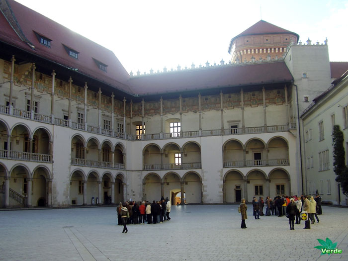
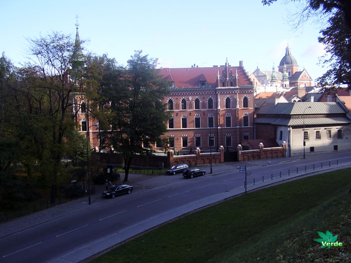
In the outskirts of Mtskheta are the ruins of Armaztsikhe fortress (3rd century BC), the Armaztsikhe acropolis (dating to the late 1st century BC), remains of a “Pompey’s bridge” (according to legends built by Roman legionnaires of Pompey the Great in 1st century BC), the fragmentary remains of a royal palace (1st–3rd century AD), a nearby tomb of the 1st century AD, a small church of the 4th century, the Samtavro Monastery (11th century), and the fortress of Bebris Tsikhe (14th century). The Institute of Archaeology, and the garden of Mikheil Mamulashvili are also worthy of note. There is also a monument to sculptor Elena Machabell.

Threats

The Historical Monuments of Mtskheta were recently placed on UNESCO’s List of World Heritage in Danger, citing “serious deterioration of the stonework and frescoes” as the main threat to the site’s long-term preservation.


The Shio-Mgvime monastery (Georgian: შიომღვიმე, Shiomghvime, literally meaning “the cave of Shio”) is a medieval monastic complex in Georgia, near the town of Mtskheta. It is located in a narrow limestone canyon on the northern bank of the Kura River, some 30 km from Tbilisi, Georgia’s capital.

Photos taken on April, 18, 2017.

We chose the trail to the monastery by a mountain trail, it’s about 6,5 km of the way. Where was 2,2 km just go up. That was great! We were able to see nature and fauna and flora. We began our journey from Dzegvi village and went along the trail. We were guided by GPS. There’s an approaching thunderstorm that worried us. Alleluia! The thunderstorm passed us by. We did’t want to meet a thunderstorm in the mountains Is it dangerous. Especially, there were high voltage lines nearby.
Of course we saw landslides. Especially, up to this point there was an earthquake. There was a wind. We heard the whispering mountains.

The way from Dzegvi to the monastery. Big map. The way from Dzegvi to the monastery. Small map.

We were afraid to meet poisonous snakes. But we met only turtles. They are so sweet. They had a wedding season. 🙂

We reached the monastery. Monastery was covered with mystery and history.  I just got down on my knees there. The monastery is very interesting! If  we again go to Georgia, I will return to the monastery in the same way.

There was difficult to return to Tbilisi. Thank God, a random tourists agreed to take us to the nearest village. There we boarded a bus to Tbilisi.

We were lucky. Otherwise us had to walk to Dzegvi or spend the night in the mountains. It was 7 o’clock in the evening. The nights there were expected to be cold. Perspective was not fun. Because we did not have any equipment to survive in the wild. In the backpack we had two sandwiches and a bottle of water…. and Geogian wine, the wine was untouched, the mountains do not like wine if you are active in this moment. You must be careful!

p.s. Of course, there was a time when we lost hope of reaching the monastery, because we got seriously lost. But I remembered that Santa Maria was near and I found a new breath and way was near.  It gave me confidence.  Now I can be a guide in these places. 😉


  • The Shio-Mgvime complex

According to a historic tradition, the first monastic community at this place was founded by the 6th-century monk Shio, one of the Thirteen Assyrian Fathers who came to Georgia as Christian missionaries. St. Shio is said to have spent his last years as a hermit in a deep cave near Mtskheta subsequently named Shiomghvime (“the Cave of Shio”) after him. The earliest building – the Monastery of St. John the Baptist – a cruciform church, very plain and strict in its design, indeed dates to that time, c. 560s-580s, and the caves curved by monks are still visible around the monastery and along the road leading to the complex. The church has an octagonal dome covered with a conic floor and once housed a masterfully ornate stone iconostasis which is now on display at the Art Museum of Georgia in Tbilisi. The monastery was somewhat altered in the 11th and 18th centuries, but has largely retained its original architecture.

The Upper Church (zemo eklesia) named after the Theotokos is a central part of the Shio-Mgvime complex constructed at the verge of the 12th century at the behest of King David IV of Georgia. Initially a domed church, it was subsequently destroyed by a foreign invasion and restored, in 1678, as a basilica. A refectory was built between the 12th and 17th centuries and directly communicates with the Cave of St. Shio. A 12th-century small chapel adorned with medieval murals stands separately on a nearby hill.

An archaeological expedition revealed, in 1937, a 2 km long aqueduct supplying the monastic communities from the nearby village of Skhaltba, and chronicled in 1202 as being constructed by Bishop Anton of Chkondidi, a minister at Queen Thamar’s court.

  • History

Shio-Mgvime quickly turned into the largest monastic community in Georgia and by the end of the 6th century it was populated by as many as 2,000 monks. It became a vibrant center of cultural and religious activities and remained under the personal patronage of Catholicoi of Georgia. David IV “the Builder” (1089-1125) made it a royal domain and dictated regulations (typicon) for the monastery (1123). The downfall of the medieval Georgian kingdom and incessant foreign invasions resulted in the decline of the monastery. It saw a relative revival when the Georgian king George VIII (r. 1446-1465) granted Shio-Mgvime and its lands to the noble family of Zevdginidze-Amilakhvari to whom the monastery served as a familial burial ground up to the 1810s.

The monastery was ravaged by the invading Persian troops sent by Shah Abbas I of Safavid in 1614-6. Prince Givi Amilakhvari reconstructed it in 1678, but the 1720s Ottoman occupation of Georgia brought about another devastation and depopulation of Shio-Mgvime. Restored by Prince Givi Amilakhvari in 1733, the monastery was raided and the monks massacred by the Persians less than two years later. Subsequently, Shio-Mgvime was restored and its interior renovated in the 19th century, but it never regained its past importance and role in the spiritual life of Georgia. Under Bolshevik rule, the monastery was closed, but it is now functional and attracts many pilgrims and tourists.

 
Pictures, live webcam of Krakow.
Kraków (Polish pronunciation: also Krakow, or Cracow (English), is the second largest and one of the oldest cities in Poland. Situated on the Vistula River (Polish: Wisła) in the Lesser Poland region, the city dates back to the 7th century. Kraków has traditionally been one of the leading centres of Polish academic, cultural, and artistic life and is one of Poland’s most important economic centres. It was the capital of Poland from 1038 to 1596; the capital of the Grand Duchy of Kraków from 1846 to 1918; and the capital of Kraków Voivodeship from the 14th century to 1999. It is now the capital of the Lesser Poland Voivodeship.

The city has grown from a Stone Age settlement to Poland’s second most important city. It began as a hamlet on Wawel Hill and was already being reported as a busy trading centre of Slavonic Europe in 965. With the establishment of new universities and cultural venues at the emergence of the Second Polish Republic and throughout the 20th century, Kraków reaffirmed its role as a major national academic and artistic centre.

After the invasion of Poland by Nazi Germany at the start of World War II, Kraków was turned into the capital of Germany’s General Government. The Jewish population of the city was moved into a walled zone known as the Kraków Ghetto, from which they were sent to extermination camps such as Auschwitz and the concentration camp at Płaszów.

In 1978, Karol Wojtyła, archbishop of Kraków, was elevated to the papacy as Pope John Paul II – the first Slavic pope, and the first non-Italian pope in 455 years.

Also that year, UNESCO approved the first sites for its World Heritage List, including the entire old town in inscribing Cracow’s Historic Centre.

Krakow webcam: Wawel Hill view

Kamera na żywo - Kraków. Krakow live streaming

See Krakow photos, Poland (including Krakow live webcam and more) in this travel photo gallery from Verde Wanderer. Pictures taken at 13 of October, 2007.

Wawiorka known since 1413, the Michael Galiginovich founded the church in village. Village called as Great or Old Vaverka according to documents XV – XVI centuries. In 1463 the rights were confirmed by the church.
In 1522 Wawiorka owned to Janusz Kostevich.
Wawiorka depicted on the map in 1643. The map was published in Amsterdam in 1635 – 1650’s in Latin.
In 1570 received the status of village.
In 1613, village designated on map is as a town Wawiorka. Never again Wawiorka had city status. Vaverka was destroyed during the Russian – Polish war.
In 1792 the owner of Vaviorka was King Laskovich.
In the second half of XX century power often changed in Vaverka. The church was looted during World War II. In 1919, German troops arrived, and then there were the Polish troops. The Red Army arrived in 1920. This year was robbed a church. Until 1939 Wawiorka again was part of Poland. This period school was built.
The Church of the Transfiguration was renovated in 1934 – 1936, under the direction of the master Bepk from Vilnius. The church was enlarged, there were demolished two walls. Church built of stone and brick, stone brick on a high foundation of stone. Length – 41.15 m, width – 19,7 m. The height of 35 m. The church has three naves: the average and 2 side, the average height of the nave – 11m., Lateral – 7 pm in the church ceiling is wooden, it was carried out by project Engineer Borowski in 1930. At this time parish of Wawiorka was one of the richest, there were 12 thousand members.
In September 1939 the Soviet power was established.
In 1944 he was created by the village council. In the 50’s started collectivization.

This pictures have been taken on 30 of July, 2011.

Molchad is silent river.
Pictures of Molchad river photo gallery added on October,7, 2006.